![]() The road system in roman
and medieval times
The road system in roman
and medieval times
Roman
roads, according to ancient sources, appear to have been
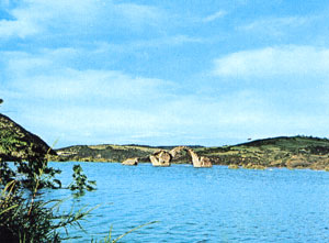
distributed along two parallel axes, one skirting the coast and
the other running along the ridge of the Matese massif. These two
main thoroughfares were complemented by a cross-road that ran
parallel with the course of the river Biferno, plus a road that
led from Isernia-Aesernia, through Venafro-Venafrum,
to the Via Latina.
The Traiano-Frentana, which is conventionally identified by the name
of Litoranea (coastal road), stretched from the north to
Larino-Larinum. Its course is followed in part by the
Aquila-Foggia sheep-track and the modern road system. The present
state highway 17 follows to a large extent the
Pescasseroli-Candela sheep-track. A road connected Bojano-Bovianum
with Larino-Larinum, passing through the ad Canales
and ad Pyr(um) stations.
The
main sources on the road systems are the Itinerarium Antonini
Augusti, with detailed lists of connected towns and distances
by road ; the tabula Peutingeriana (12th century
reproduction of a 4th century road map of the Roman
Empire) and the Ravennati Anonymi Cosmographia.